 |

|

|

|

|

|

|
Hiking and Outdoor Recreation in West Virginia's Eastern Highlands
Updated: October 21, 2026
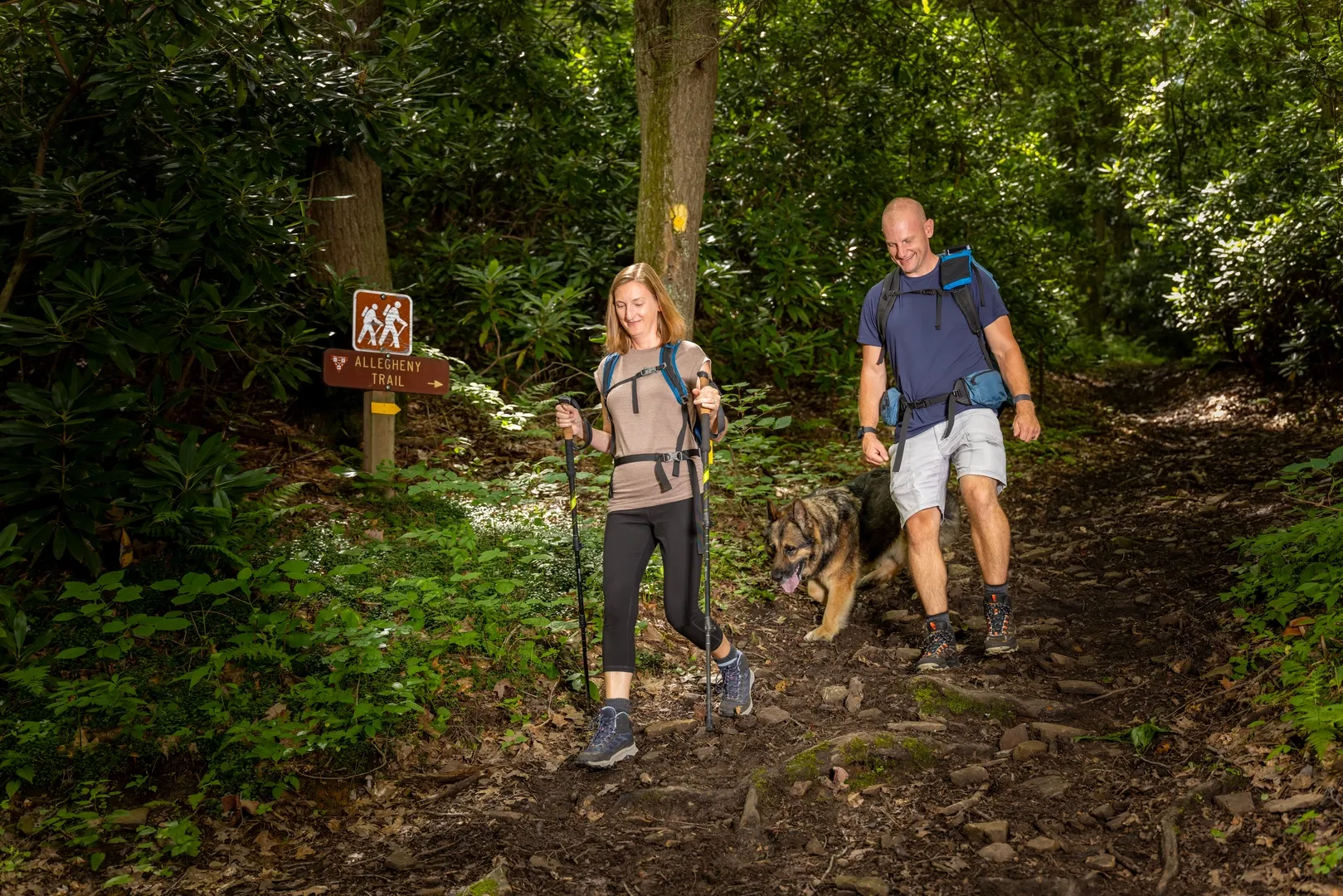
The Potomac Highlands region of eastern West Virginia, where Pendleton County sits, is built around mountain terrain that lends itself naturally to outdoor recreation — hiking, mountain driving, and bicycle touring among them. The county's elevation and relative isolation within the Allegheny Mountains have kept much of the landscape undeveloped, which is part of the appeal for visitors looking for a quieter outdoor destination than a more heavily trafficked part of the Appalachians.
Outdoor recreation here tends to be self-directed rather than built around a single visitor center or guided program, which makes some advance planning worthwhile.
That self-directed character means the county rewards visitors who come prepared with a general sense of the terrain and a flexible plan, rather than expecting a single marked trailhead or welcome center to organize the whole experience for them.
The Terrain Behind the County's Outdoor Appeal
Pendleton County's mountains and valleys — including Long Mountain, Snowy Mountain, and the South Fork Mountain corridor — create the kind of elevation change that draws hikers and outdoor visitors to the Potomac Highlands generally. The region's rivers, including the South Branch and South Fork of the Potomac, cut through these ridges and define much of the lower-elevation terrain between the mountains.
This mix of river valleys and forested ridgelines is typical of the broader Allegheny range, and Pendleton County's stretch of it is less developed than some neighboring areas, which keeps the outdoor experience here feeling more remote than its distance from larger towns would suggest.
The same terrain that makes for good hiking and driving also means outdoor plans here benefit from a little extra flexibility — a route along one ridge might be in full sun while a nearby valley stays shaded and cool, and that kind of variation is part of what makes the county's outdoors feel larger than its size on a map.
Bicycle Touring Routes
The county's bicycle touring index outlines routes designed for cyclists working through the same backroads that drivers use for scenic touring, tracing the valleys and lower mountain passes rather than the steepest climbs. Checking current route information before setting out is worth doing, since rural touring routes can be affected by road conditions that change over time.
Because these routes follow public roads shared with regular traffic rather than dedicated bike paths, riders should plan around the same mountain driving considerations — blind curves, limited shoulders in places, and sections with little direct sun exposure — that apply to anyone navigating the county's backroads.
Combining Driving and Walking Routes
Visitors who prefer not to commit to a full cycling route can still experience much of the same terrain by car, following the county's scenic mountain backroads and stopping at pull-offs or shorter walking points along the way. This flexible approach suits visitors who want to see the mountains without planning around a specific trailhead or route distance.
It's also a practical option for a mixed group, where not everyone wants to commit to the same distance or pace — a short walk from a roadside pull-off can give a non-hiker much the same view that a longer trail eventually reaches, just reached a different way.
Planning Around Elevation and Weather
The county's area information page provides useful background on the region's geography before planning an outdoor-focused visit, since conditions at higher elevations in the Potomac Highlands can differ noticeably from the valleys. Weather here shifts with elevation more than it does in flatter parts of the state, and a route that looks short on a map can take longer than expected once elevation change is factored in.
Visitors coming from lower-elevation parts of the region should also expect noticeably cooler mornings and evenings even in summer, which is worth factoring into what to pack for an outdoor day in the county.
Outdoor Recreation as Part of a Longer Visit
Outdoor time in Pendleton County pairs naturally with the county's other attractions rather than standing alone — a morning drive or ride through the mountains followed by an afternoon in Franklin's historic district, or a visit timed around the spring wildflower season, rounds out a trip built primarily around the outdoors. Visitors planning a longer regional trip may also want to consider extending the outdoor portion of their visit east into Virginia's Blue Ridge Mountains, part of the same broader Appalachian system.
Whichever combination a visitor chooses, the underlying appeal stays the same: a stretch of the Allegheny Mountains that hasn't been built up around a single major attraction, which leaves outdoor time here feeling more like exploring the county on its own terms than following a fixed itinerary.
Frequently Asked Questions
What kind of outdoor recreation is available in Pendleton County?
The county's terrain supports hiking, mountain driving, and bicycle touring, mostly self-directed rather than built around a central visitor center.
Are there marked bicycle touring routes?
Yes, the county maintains a bicycle touring index outlining routes through its valleys and backroads; checking current conditions before a trip is recommended.
How does elevation affect a visit?
Weather and travel time can both shift noticeably with elevation in this mountainous region, so routes that look short on a map may take longer in practice.
Can outdoor recreation be combined with the county's other attractions?
Yes, a drive or ride through the mountains pairs well with Franklin's historic district, the county's wildflower season, or a longer trip extending into Virginia's Blue Ridge Mountains.
 |
|
main | a - z list | calendar | map & links | contact us For further information, please contact:
|