 |

|

|

|

|

|

|
Scenic Drives Through Pendleton County's Mountain Backroads
Updated: October 21, 2026
Pendleton County sits inside the Potomac Highlands, a stretch of the Allegheny Mountains in eastern West Virginia where ridgelines and valleys run in long, roughly parallel lines. The county's roads follow that same pattern, climbing over named mountains and dropping into creek valleys rather than cutting straight lines across flat ground, which makes an unhurried drive through the county as much about the terrain as any single destination.
Several of the county's best-known mountains and valleys — Long Mountain, Snowy Mountain, South Fork Mountain, Sugar Grove, and Reeds Creek among them — give the backroads their character even where there isn't a formal scenic byway sign marking the route.
What makes this kind of driving worthwhile isn't a single overlook or landmark but the accumulation of small changes along the way — a valley opening up after a climb, a creek crossing, a cluster of farm buildings tucked against a ridge — the sort of scenery that rewards a slower pace rather than a drive-through checklist.
The Mountains and Valleys That Shape the County
Long Mountain and Snowy Mountain are two of the ridgelines that define the eastern side of the county, part of the same Allegheny chain that gives the Potomac Highlands their elevation and their cooler summer climate compared to much of the rest of West Virginia. South Fork Mountain runs along another stretch of the county, tracking roughly parallel to the South Fork of the South Branch Potomac River below it.
Communities like Sugar Grove and the valley along Reeds Creek sit in the lower ground between these ridges, and the roads connecting them climb and descend repeatedly over short distances — a feature of mountain driving here that rewards a slower pace rather than a direct point-to-point trip.
These named mountains and valleys aren't simply labels on a map; they're the reason the county's road network looks the way it does, following the lowest practical passes between ridgelines rather than running in straight lines the way roads do in flatter terrain. Knowing a few of these names ahead of time makes it easier to follow a route description or a local's directions once you're actually on the road.
What Driving Through the Potomac Highlands Looks Like
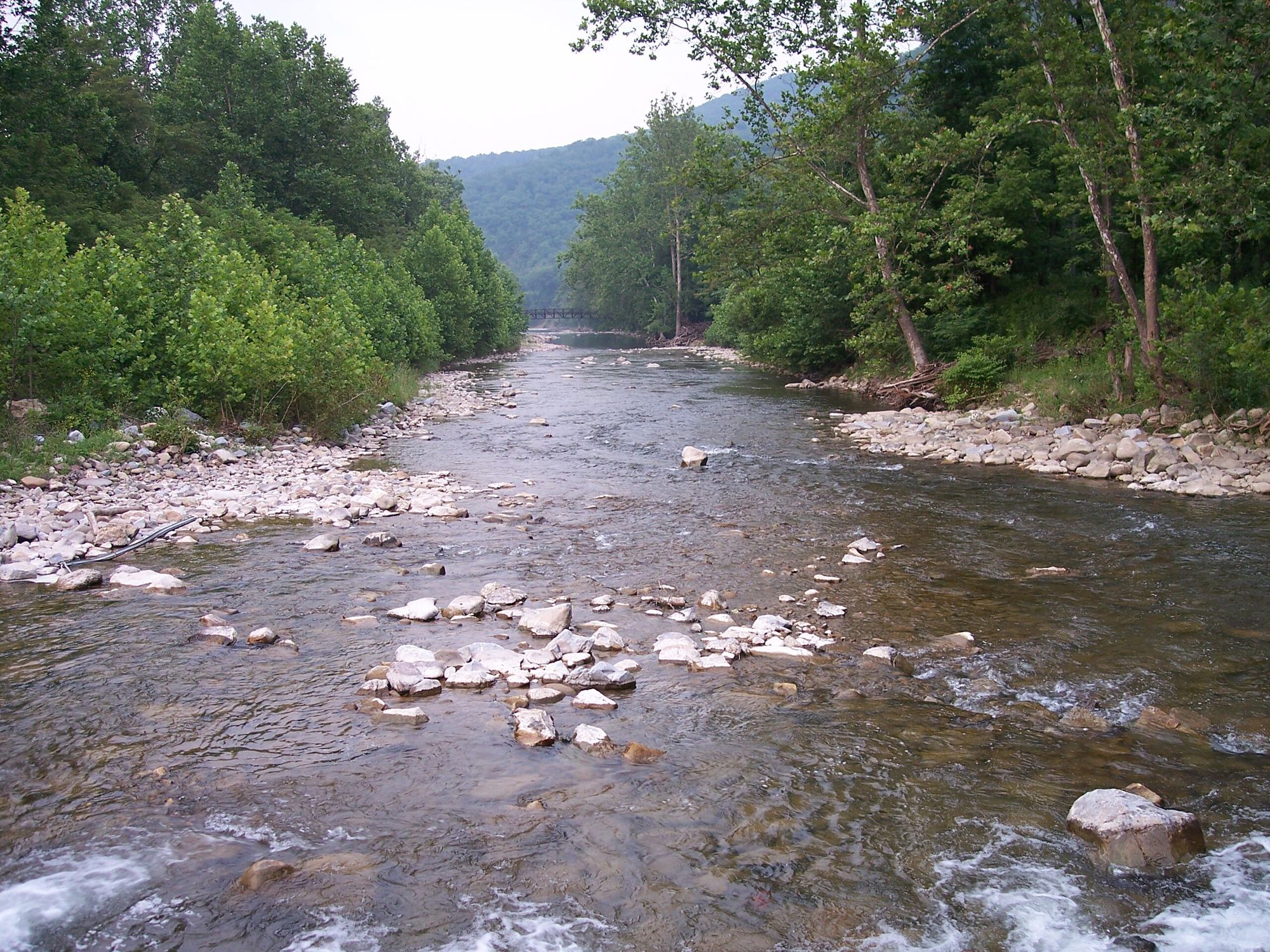
Because the county's terrain is almost entirely mountain and valley, a backroads drive here tends to alternate between open farmland in the valley bottoms and forested climbs over the ridges, with river crossings at the South Branch and South Fork of the Potomac marking the lower points of most routes. Fall color draws visitors specifically for this mix of elevation changes, since a single drive can pass through several stages of color change as the road gains and loses elevation.
Spring and early summer bring a different draw, when the same roadsides and forest edges that color up in autumn are instead producing the wildflowers the county is known for in its own photo galleries.
Summer driving here tends to be the most comfortable stretch of the year, with the higher elevations keeping temperatures noticeably cooler than the valleys and lowland areas elsewhere in the state, while winter adds its own character through snow on the ridge roads long after it has melted in the lower valleys.
Starting Points for a Drive
A few resources help visitors plan a route through the county rather than guessing at turns:
- The county's area information page gives background on the region's geography and communities before setting out.
- A list of area links rounds up additional county and regional resources worth checking before a trip.
- Franklin, the county seat, makes a natural starting and ending point for a loop drive, since most routes radiate out from the South Branch valley around town.
The county's area information page and its list of area links are both useful starting points, and pairing a drive with a stop in historic Franklin gives the trip a clear anchor. Starting and ending in the same small town also makes it easier to judge how far you've actually traveled, since mountain mileage rarely matches the pace of a flatter drive covering the same distance on a map.
Seasonal Considerations for Mountain Roads
Mountain backroads in this part of West Virginia can be narrower and more winding than a typical state highway, and weather moves through the Potomac Highlands differently than it does in the valleys to the east. Fog can settle over ridge roads in the morning even on a clear day lower down, and winter driving over the higher routes calls for more caution than the same distance would require on flatter terrain.
None of this makes the county's backroads difficult to drive with ordinary care, but it's worth building extra time into a route rather than estimating drive time the way you would on an interstate. A route that looks like a short hop on a map can take considerably longer once the climbs, curves, and occasional slow-moving farm equipment are factored in.
What's Nearby Along the Way
A scenic drive through the county naturally passes close to several of its other attractions, including the county's bicycle touring routes, which trace some of the same backroads at a slower pace for cyclists rather than drivers. Travelers extending their trip eastward into Virginia's own mountains will find the same Appalachian terrain continues well beyond the county line, a connection covered in more detail in the county's guide to planning an Appalachian getaway.
Several of the roads that make for good scenic driving also pass close to the county's business directory listings, so a drive can double as a practical trip for a meal or a night's lodging rather than purely a sightseeing loop with nothing else built in.
Frequently Asked Questions
What mountains define Pendleton County's landscape?
Long Mountain, Snowy Mountain, and South Fork Mountain are among the ridgelines that shape the county, part of the Allegheny Mountains within the broader Potomac Highlands region of eastern West Virginia.
Is there a single scenic byway through the county?
The county doesn't have one official marked byway; instead, its backroads generally follow the valleys and mountain passes between communities like Sugar Grove, Franklin, and the Reeds Creek area.
When is the best time for a scenic drive here?
Fall is popular for color across the mountain elevations, while spring and early summer bring wildflowers to the same roadsides and forest edges.
Where should a driving tour of the county start?
Franklin, the county seat, works well as a starting and ending point, since most of the county's roads connect back to the South Branch Potomac valley around town.
 |
|
main | a - z list | calendar | map & links | contact us For further information, please contact:
|